
From geosurveys to photogrammetry, we offer data-focused solutions.
From geosurveys to photogrammetry, we offer data-focused solutions.
From geosurveys to photogrammetry, we offer data-focused solutions.
From geosurveys to photogrammetry, we offer data-focused solutions.
Our Services
-
Geosurvey
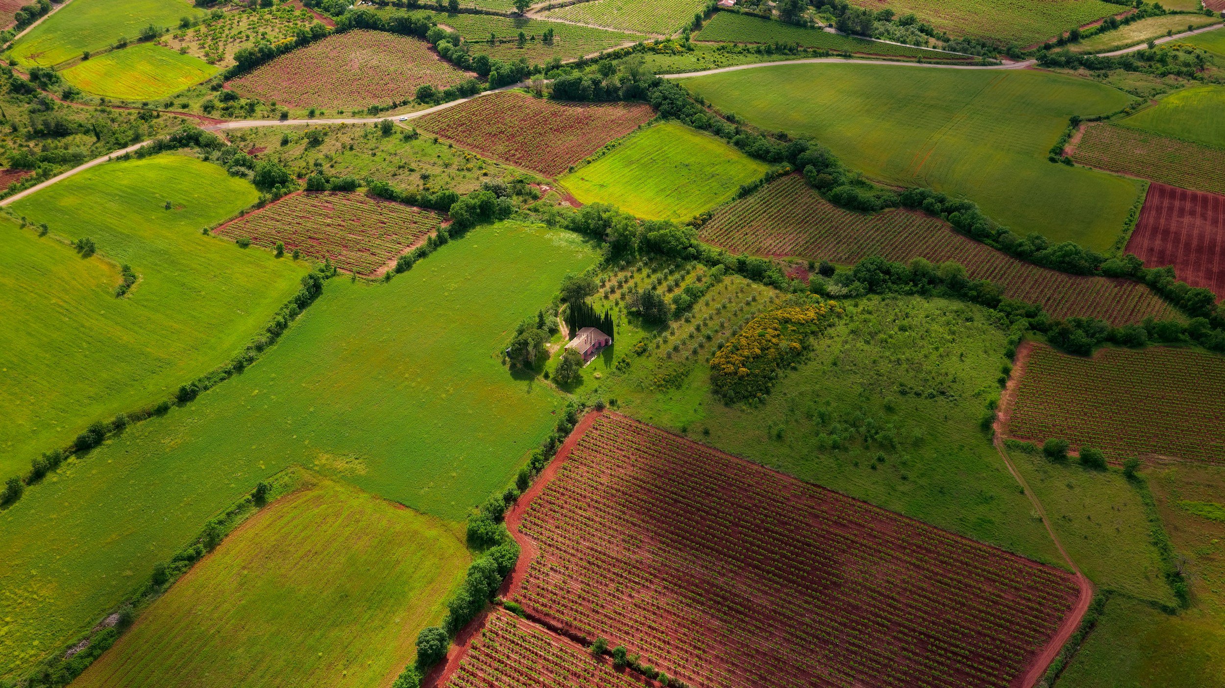
Surveying neighbourhoods for city planning, or geological areas for scientific projects.

-
Progress Reports
Construction site daily updates, or long-term visualizations of ecological changes or crop growth.

-
Photogrammetry
Ultra high resolution models of landmarks, whole districts or in-depth damage analysis.


When your project needs a clear overview of an area, either as a snapshot or as analysis of change.
When your project needs a clear overview of an area, either as a snapshot or as analysis of change.
Surveys of crop growth and health, construction zone daily progress reports, structural or roadway damage analysis.
No matter how unique the demand is, the solution is drone photography.
Photogrammetry can additionally provide full realistic high resolution 3d-models of a landmark or property, to share amongst team-members without needing to go on-site.
Contact our consultants for a free in-depth meeting to brainstorm concepts.

Full neighbourhood views

City planning with photogrammetry models

Resorts or hotel overview

Construction site progress updates